Chasing Curves: 12 Ride Routes Every Rally Rider Should Know
The Grand Strand is flat, but the curves are close. Here are 12 ride routes every rally rider should know, from true day-trip twisties to coastal runs and sunset food rides.
Category: guide | Published: 2026-09-29
Chasing Curves: 12 Ride Routes Every Rally Rider Should Know
Let's be straight with each other: the Grand Strand is flat. If you came hunting for mountain switchbacks, you won't find them between the beach and Conway.
But the curves aren't far. An hour or two inland, the land starts to roll — forest roads with 15-mph bends that mean it, rolling hills around a lake, country two-lanes where nobody's in a hurry. And the Strand itself has nine more rides worth your time, from the full 120-mile coastline run to a sunset dinner ride on the MarshWalk.
The Rally Rider Hub's Ride Planner now has all twelve — interactive maps, Get Directions links, and printable route sheets at myrtlebeachunlocked.com/rally-rider-hub. Here's the full rundown.
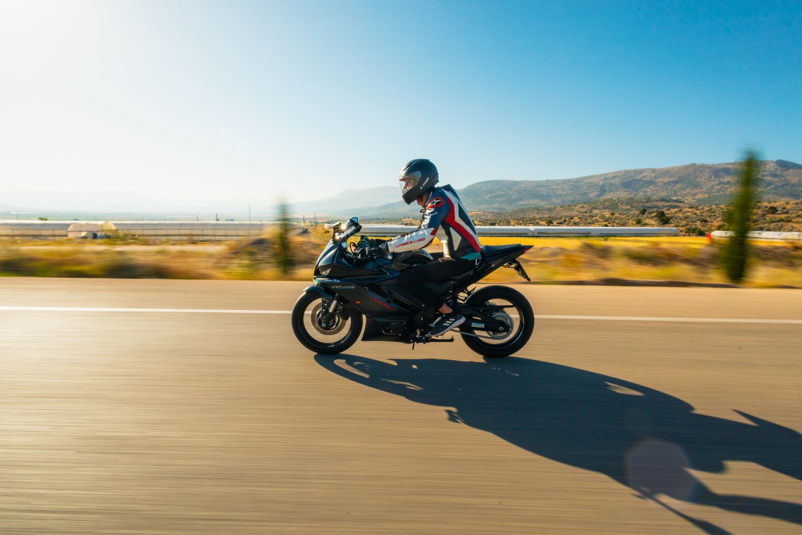
Photo: Pexels.com
THE CURVES — Day Trips for the Twistie-Hungry
If curves are what you're after, start here. These three are honest day trips FROM the Strand — not Grand Strand roads, and we don't pretend otherwise.
Francis Marion Twisty Loop
~45 miles of forest roads · Full day from the Strand (~200 miles round trip)
The one real answer to "where are the twisties?" Run south on 17 about an hour and a half to Awendaw, then turn west onto Guerins Bridge Road — 8 miles of flat 90-degree bends with 15-mph signs that mean it. Then north on Halfway Creek Road through the pines of Francis Marion National Forest, and east on SC-45's sweepers into McClellanville for seafood. The closest true curves to the beach.
Food stop: TW Graham & Co. in McClellanville — waterfront seafood, easy prices. Best time: Weekday morning — fewer dump trucks working Guerins Bridge Rd.
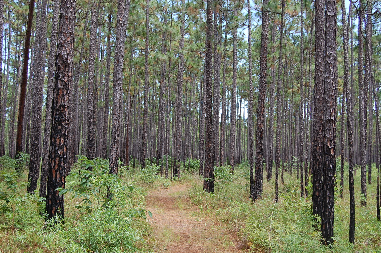
Photo: Daniel Barcelona / Wikimedia Commons (CC BY-SA 3.0)
Lake Wateree Hill Loop
~70-mile loop · Full day from the Strand
About two hours northwest, the land finally starts to roll. This 70-mile loop out of Camden circles Lake Wateree through rolling hills — not mountain curves, but the hilliest pavement within two hours of the Strand. Decent pavement; watch for rough patches in the hill sections.
Food stop: Lunch in Camden before or after the loop. Best time: Fall morning — the hills show off.
Photo: Coastal Angler Magazine
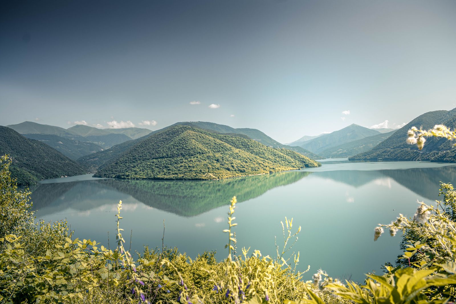
Photo: Pexels.com
Pee Dee Backroads Ramble
~170 miles round trip · Half day to full day
Straight talk: the Pee Dee doesn't have twisties either. But an hour west of the beach, the traffic thins out and the two-lanes around Florence, Darlington, and Hartsville open into easy rolling country miles — farm fields, small towns, nobody in a hurry. Not curves. Just room to breathe.
Food stop: Lunch at a small-town diner along the way — you'll pass a dozen. Best time: Sunday morning, when the country roads are empty.
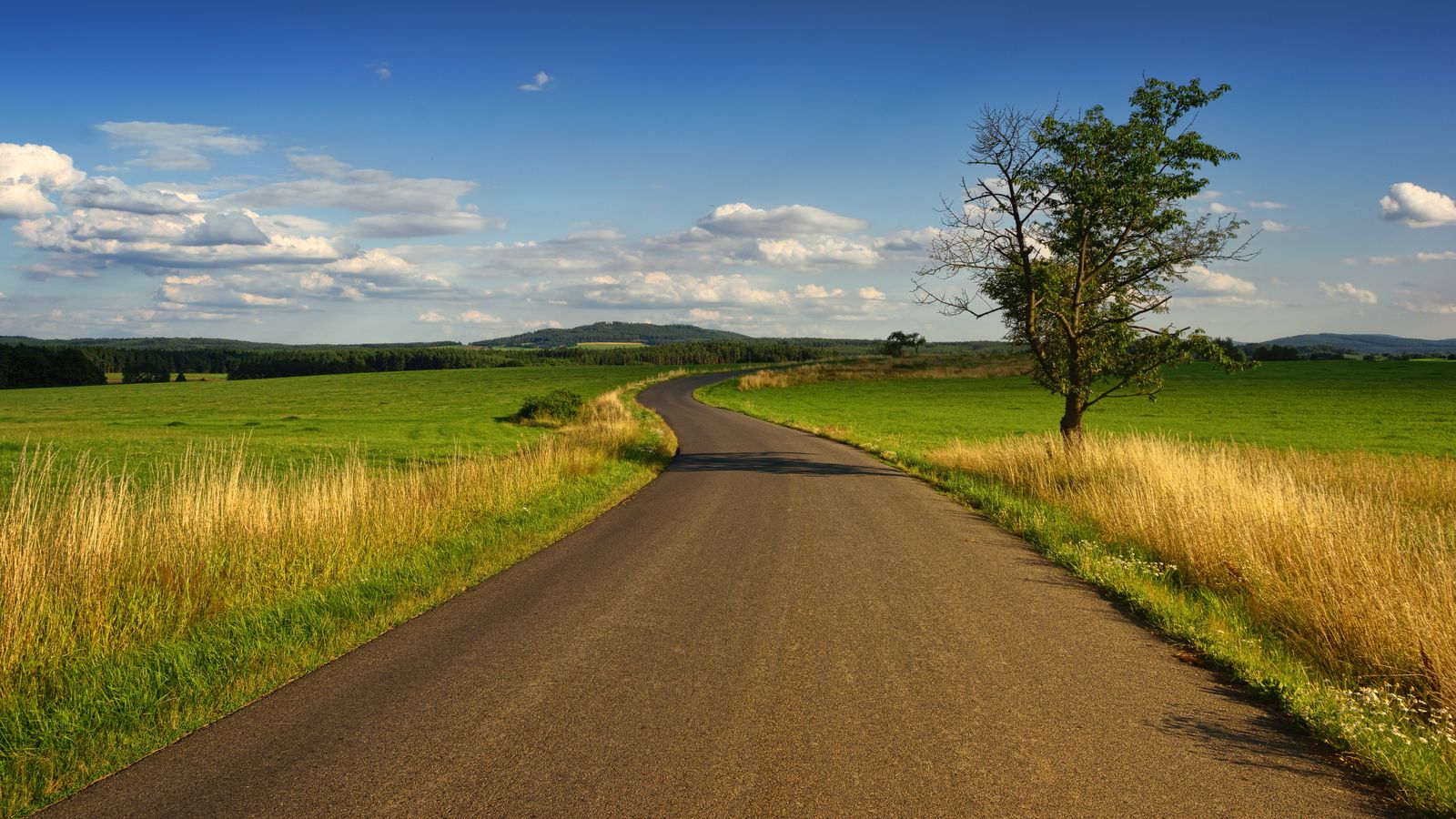
Photo: Pexels.com
THE STRAND RUNS — The Big Coastal Miles
The Full Strand Run
~120 miles round trip · Full day · Coast
The big one. Sixty miles of coastline from the Little River waterfront all the way down to Georgetown — Cherry Grove, Ocean Boulevard, Surfside, Murrells Inlet, Litchfield, Pawleys Island, and into Georgetown. This is the ride that shows you the whole Grand Strand in one shot.
Food stop: Lunch on the Georgetown waterfront along Front Street. Best time: Weekday morning — beats the beach traffic.
The State Line Run
~108 miles round trip · Full day · Coast, Food Run
Two states, one ocean, one day. Roll out of Murrells Inlet and run the whole Grand Strand north — Ocean Boulevard end to end, through the Golden Mile's old Millionaire's Row and Grande Dunes, up 17 Business through North Myrtle Beach, then across the state line on Beach Drive to Ocean Isle Beach, North Carolina. Lunch at the beach, then ride it all back.
Food stop: Lunch at Ocean Isle Beach — Sharky's or Ocean Isle Fish Company. Calabash seafood on the way up. Best time: Weekday morning — 9 AM kickstands up beats the beach traffic.
Waccamaw Neck Run
~50 miles round trip · Half day · Coast
The prettiest pavement on the Grand Strand. Highway 17 south from Murrells Inlet through Litchfield and Pawleys Island — live oaks draped in Spanish moss, marsh views on both sides, Brookgreen Gardens and Huntington Beach State Park along the way.
Food stop: Lunch in Pawleys Island, or back up at the Murrells Inlet MarshWalk. Best time: Morning — golden light through the oaks.
Ocean Boulevard Cruise
~44 miles round trip · About 2 hours · Coast
The classic slow roll. Start at the 2nd Ave Pier and cruise Ocean Boulevard north through the Golden Mile — the old Millionaire's Row of classic beach houses — then on through Grande Dunes to where the boulevard runs out at 82nd Ave N. Cut over to Kings Hwy and ride 17 Business up through North Myrtle Beach and Cherry Grove. This isn't a fast ride — it's a parade. Roll it early before traffic wakes up, or after dark when the lights come on.
Food stop: Breakfast at a Boulevard diner before you roll, or a burger stop mid-cruise. Best time: Early morning or after dark.
SHORT & SWEET — Quick Spins and Food Runs
Little River to Calabash
~20 miles round trip · Half day with lunch · Coast, Food Run
Short, sweet, and ends with seafood. Roll up the north end to the Little River waterfront, then hop the state line into Calabash, North Carolina — the self-proclaimed seafood capital of the world.
Food stop: Seafood lunch in Calabash, NC. Best time: Midday lunch run.
The Dealer Run
~30-mile loop · Half day
A loop built around the two shops that keep the Grand Strand riding: Myrtle Beach Harley-Davidson and The Harley Shop at the Beach. Part ride, part pilgrimage — and during rally week, both lots are shows in themselves.
Food stop: Grab lunch wherever the road takes you between stops. Best time: Rally week, when both shops are hopping.
Conway Backroads Loop
~50-mile loop · Half day · Backroads
Get out of the beach traffic and into real Horry County. Two-lane farm roads, Waccamaw River crossings, and small towns that haven't changed in fifty years. This is the locals' escape route.
Food stop: Lunch in historic downtown Conway. Best time: Anytime — especially pretty in the fall.
Intracoastal Waterway Ride
~25 miles · 1–2 hours · Backroads
The quiet ride. Meandering roads that parallel the Intracoastal Waterway through Socastee — marsh, river views, and almost no beach traffic. Proof you don't have to leave the Strand to get away from it.
Food stop: Lunch in Socastee or Murrells Inlet. Best time: Late afternoon.
MarshWalk Sunset Run
~25–30 miles round trip · Evening · Coast, Food Run
A short evening ride that ends with dinner on the water. Roll into Murrells Inlet as the sun drops, park the bike, and eat on the MarshWalk with live music drifting over the marsh.
Food stop: Dinner on the MarshWalk — Dead Dog Saloon and the waterfront row. Best time: Sunset — arrive before dark.
Rider Tips
- Ride early. Highway 17 beach traffic builds fast — weekday mornings are gold.
- South Carolina requires helmets for riders under 21. Wear one anyway.
- Fuel up before the backroads — stations thin out west of Conway.
- Watch for sand in intersections and curves along Ocean Boulevard.
- During rally week, expect heavy traffic around Murrells Inlet and the dealers — patience is part of the ride.
All twelve routes live in the Rally Rider Hub's Ride Planner — with interactive maps, Get Directions links, and printable route sheets. Pick your ride: myrtlebeachunlocked.com/rally-rider-hub